
Or open www.plotaroute.com & search for Activesports Tracks

This will display Activesports Tracks, locate the required Track & 'Click It'
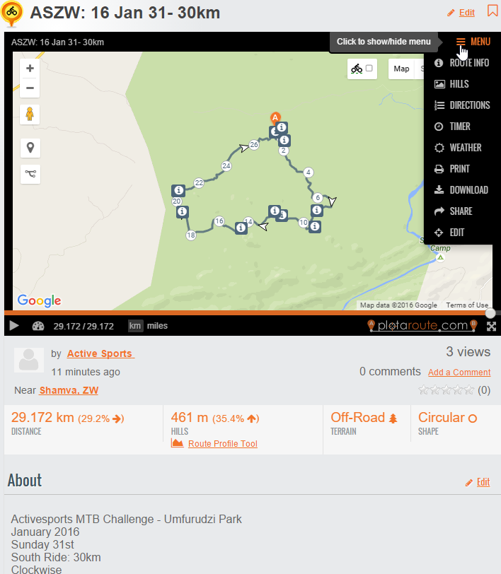 You can view Track in 'Street Map' or Google Earth Views.
Click in Map +- to Zoom
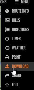
Click on the Menu to view 'Profile' - 'Directions' - 'Download Track' - etc.
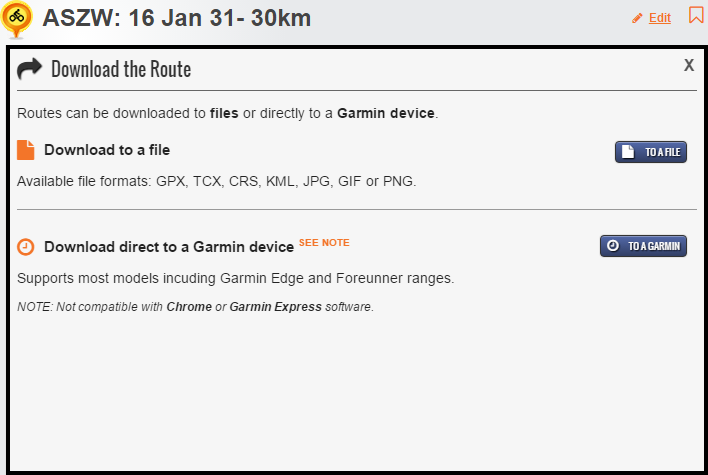
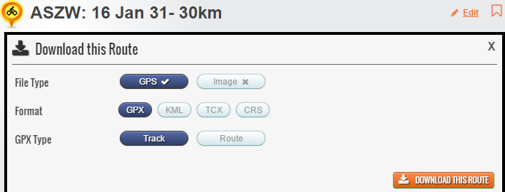
You can then choose to 'Download to File' or 'Download to GPS'.
Suggest to 'File' then you can ensure upload to GPS is done correctly from your Garmin Software e.g. Basecamp or Mapsource.
Save / Downloaded Track to a 'Folder' of choice just so you remember where it is when you come to retrive / open it in you Garmin Software.
b. Retrive / Open the Track
c. Connect your GPS
d. Upload Track to GPS
e. Eject GPS
f. Check Track is on GPS